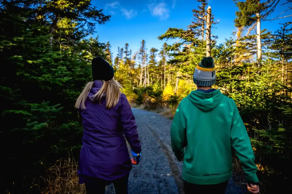
Trails
The Trails Master Plan Project is now complete and ready to share! This project began early in the 2022 year with Mills & Wright Landscape Architecture. The project included community engagement sessions, an online survey, and stakeholder feedback.
The goal of the public engagement process was to collect information on where the community would like to see trails developed that have multiple uses, such as: connecting neighbourhoods and schools, connecting existing trails together, creating new access routes, trails along river systems and more.
This plan will help the Town during its Strategic Plan and Budget processes over the next number of years. Thank you to all residents and community groups for your participation and collaboration to make this Trails Master Plan complete.
If you would like to acquire a high resolution digital file of the PCSP Trails Master Plan, please contact [email protected]
View the Trails Master Plan
Significant community consultations took place regarding this project. The following community consultations have occurred:
Walking Trails
Trail Multi-Use Guidelines
Did you know our park trails allow for cross country skiing and fatbike use? Check out the following Trail Multi-use Guidelines and get outside to have fun this season!
The trail system can be viewed on the image below. If you would like to print a copy of the map, click here to download the PDF.
- Trails and Park are use at own risk.
- Be aware and vigilant of other trail users at all times.
- Please keep a slow-to-moderate speed, be prepared to slow down or stop at any moment.
- Reduce speeds when going around turns and trail intersections.
- Keep to the right side of the path, allowing oncoming and faster users to pass on the left.
- Walkers should give right of way to skiers/bikers, as its can be harder for them to stop & start.
- Trails are not groomed, please use caution when using the trails.
- Those on bikes are recommended to use a bell to alert persons on the trail.
- Please stay on the trails at all times.
- No motorized vehicles allowed.
Broad Cove River Trail
The Broad Cove River Trail is a newly constructed trailway in the Town of Portugal Cove–St. Philip’s that follows the scenic Broad Cove River. Designed to provide residents and visitors with greater access to the Town’s natural landscape, the trail offers a peaceful setting to explore, and enjoy the outdoors.
Phase One of the trail connects Rainbow Gully Park to Dogberry Hill Road, creating a beautiful riverside route through a wooded area alongside the river. The trail highlights the natural beauty of the Broad Cove River corridor and provides a relaxing space for walking, nature appreciation, and outdoor recreation.
The Broad Cove River Trail is part of the Town’s ongoing efforts to create local trail networks, improve access to green spaces, and support active lifestyles for all within the community.
Phase two of the proposed trail will continue along the river ending at St. Thomas Line.
Rainbow Gully Park
Behind the town’s municipal building, you will see one of two major Recreation Parks in the Town: Rainbow Gully Park! This park features a range of facilities for people of all ages to enjoy.
The Rainbow Gully turf multipurpose field is fully equipped with lights, full-sized soccer nets, half-sized soccer nets, player seating, and built-in bleachers. The large Rainbow Gully Park playground is used year round by families from our community and beyond. The popular basketball court and softball field are often used for tournaments and leagues, as well as visitors dropping by for fun and games!
The skate park is another favourite, especially for children and teens. Rainbow Gully is also a great place to test your botany identification skills or grow your own fresh, local vegetables in the community garden! For details on rentals and facilities, click here.
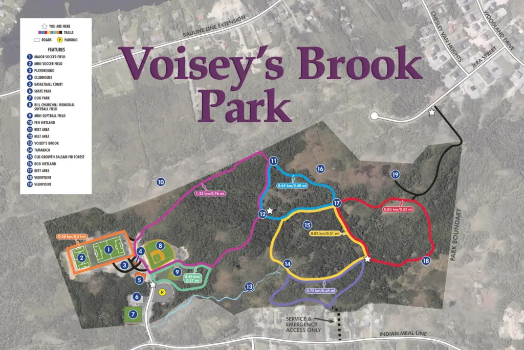
Voisey’s Brook Park & Trail System
Along Indian Meal Line, you will see Voisey’s Brook Park, another of two major Recreation Parks in the Town! This park features a large 5km trail system, popular with families and people of all ages.
Voisey’s Brook Park is especially popular amongst dog owners, as there are two dog parks located within the park – one for small breed and one for large breeds, both featuring sand and grass surface.
Much of the Town’s softball takes place at Voisey’s Brook Park, as there is both a mini softball diamond (includes small infield and backstop with benches) and full sized softball field (national size Slo-Pitch field (300 feet), with lights, enclosed dugouts, in-ground bases).
Other recreation facilities at this park include a large playground, a full soccer field and a mini soccer field, a skateboard park, and a multipurpose building. For details on rentals and facilities, click here.
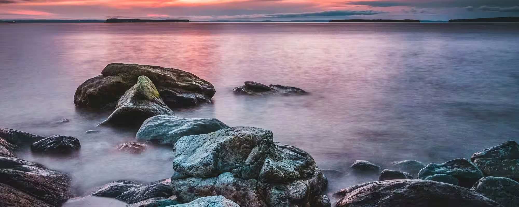
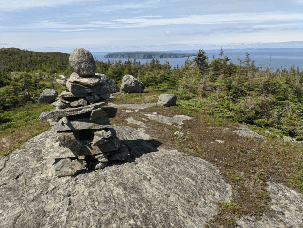
East Coast Trail
Explore the rugged coastline of our community and see wildlife, brooks, waterfalls, rock outcrops, and more. There are several access points to the stunning East Coast Trail system in Portugal Cove-St. Philip’s. We are fortunate to have two paths, Long Shore Path and Picco’s Ridge Path, that can take you through the entire community:

Long Shore Path
Long Shore Path is the newest part of the East Coast Trail in PCSP. It is a long trail spanning over 17 kms from Portugal Cove to Topsail with multiple access points in the Town. This is a moderate to difficult trail and takes between 6-8 hours. Further details and maps can be found on the East Coast Trail website.
There are areas where you will need to use rope assists and use caution along the shoreline. Long Shore Path can be accessed in St. Philip’s on Thorpes Road, Beachy Cove/Long Marsh Road behind the Holy Rosary Church, or in Portugal Cove behind the Post Office. You will be taken through other locally known trails such as Goat Cove Trail, Greymans Beard, and Beachy Cove Hill.
Much of the PCSP sections of the trail are located in the Town’s traditional community zone and have significant heritage value. Some of the sections of the trail were traditionally used by miners who would walk to the Bell Island ferry in Portugal Cove to get to the mine. Other areas were once settled communities and used as farm land. Rock walls can still be seen in some areas.
Picco’s Ridge Path
This part of the East Coast Trail is rated as strenuous and can take between 7-9 hours, which will take you all the way to Bauline. Further details and maps can be found on the East Coast Trail website.
To access the popular entry point of Picco’s Ridge Path, park behind the volunteer fire hall at 1819 Portugal Cove Road, in rear of the lot as designated by signage. Hike to Portugal Cove Road, turn left, and walk 250m to Loop Drive. Turn right onto Loop Drive.
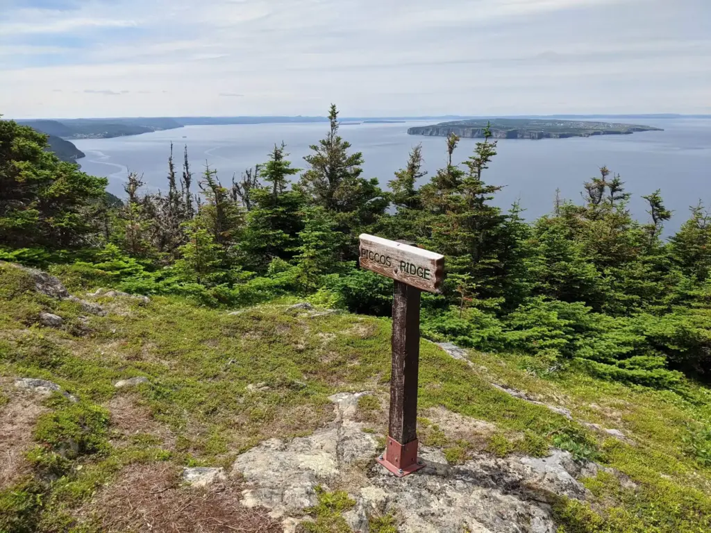
Hike 150m and turn right onto Hardings Hill. Cross the bridge, then hike 300m to North Point Road. Proceed 250m to the end of North Point Road where the Picco’s Ridge trailhead sign is located. Hikers are not permitted to drive or park on North Point Road.
The area at the end of North Point Road where the trails starts is locally known as “The Geeze”. Local lore suggests that the area got its name from a slang of the word gaze as this area is ideal for overlooking the ocean. Lore also suggests that Gaspar Corte Real buried deceased sailors in the area.